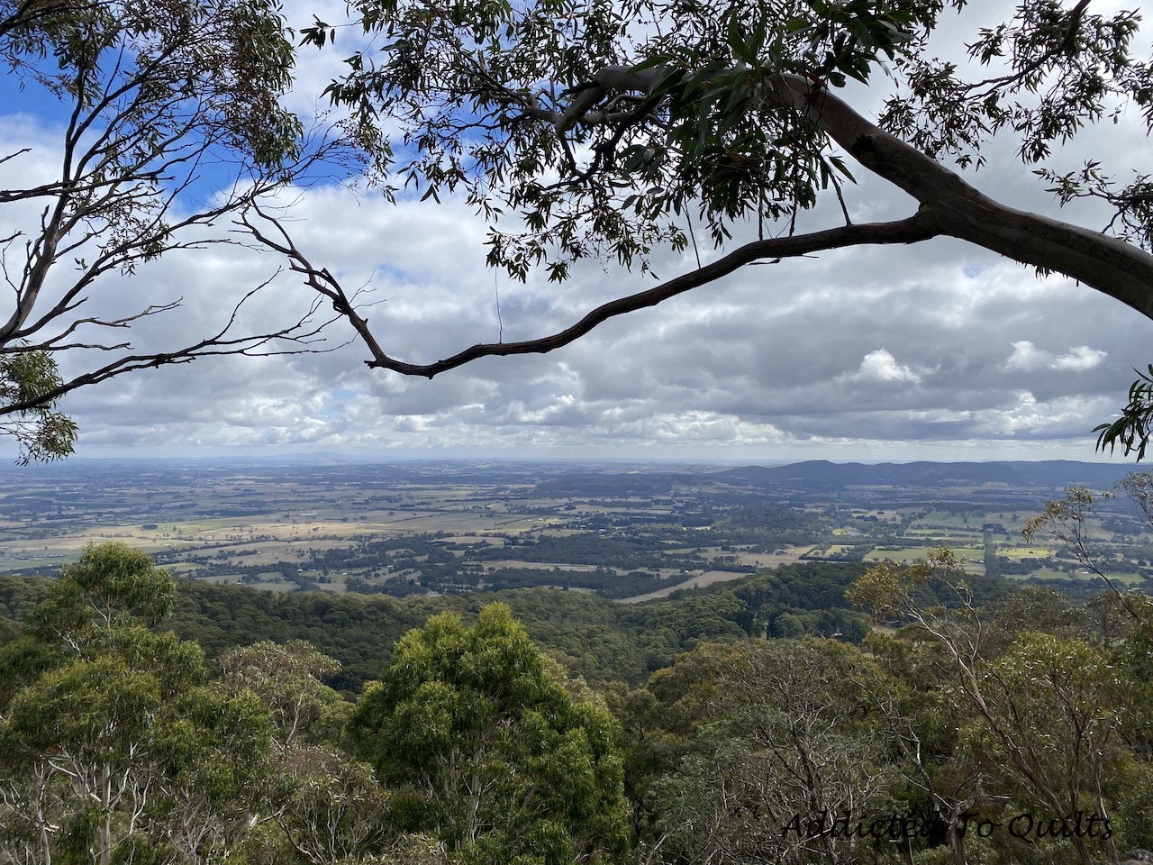
Showing posts with label Walks. Show all posts

Thursday, 2 September 2021

Single Person Bubble Buddy

Yesterday was the first day of Spring and the weather was glorious.  I was honoured that my brother chose me to be his Single Person Bubble Buddy so I am allowed to travel out of my 5km radius to his 5km radius to go for a walk together.

I take my responsibility seriously as his buddy, and will make sure we go for a walk regularly because being on your own, and working at home during lockdown is very lonely.  Also, as a bonus for me, I also get to walk in a different part of Melbourne for some much needed variety.  

This photo is along the Elwood Canal.  It looks deserted, but really I was just lucky to get a photo without anybody in it.

This is what it was really like with other people out walking too.

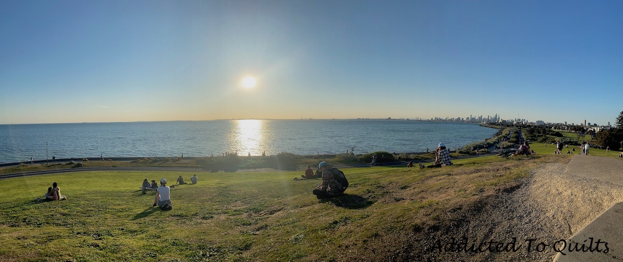
It was beautiful at the Point Ormond Lookout, and you can see there were a lot of people out enjoying the gorgeous weather and the view - but staying in small groups and socially distancing.  It would have been nice to stay for the sunset, but then we would have been walking home in the dark.
On one of our walks we went through Elsternwick Park which was lovely.

My brother told me that this was once a golf course that is being turned into parkland which I think is great.

Crossing Nepean Highway on the way home.  The sky was pretty, and you can see a little of the city in the distance.


Thursday, 19 August 2021

Lockdown Six

As Melbourne is now two weeks into lockdown number six I am trying to stay busy.  But I think, like a lot of people, I am feeling a little gloomy.  Having the curfew brought back, and playgrounds shut makes it very real.

I took this photo on the way to the post office to send two parcels of completed quilts home.  I will get stopped at the railway crossing at least once each trip, and frequently both ways.  I find funny the picture of our premier Dan Andrews drawn on the wall of the liquor shop with his iconic phrase of last year's press conferences.

In the ten days of limited freedom between lockdown five and lockdown six I did manage to get a walk with my brother along the bay.


As for this lockdown I am trying to keep busy.  My injured foot continues to play up.  Scans have revealed that I have torn the muscle in the ball of my foot.  I am diligently doing the exercises the podiatrist has given me, but it seems to be two steps forward and one step back.  So I have been working on completing my Aberfeldie Flowers quilt.


Friday, 16 July 2021

Murray to Mountains Rail Trail

With my foot injury finally starting to feel better, and Paul taking a week off work, we decided to tackle parts of the Murray to Mountains Rail Trail.  This trail is 116km long and runs from Wangaratta to Bright with an offshoot to Beechworth.  Rail Trails by their very nature are mostly flat, or with gradual gradients, so therefore perfect for me to test out my foot rather than tackle a more difficult hike. 

Our Rail Trail trip was cut short with Victoria going into another circuit breaker lockdown, but at least we got two good days of walking in. 

The first was from our accomodation in Wangaratta to the former station of Londrigan.  This was 25.5kms return.  Much of the walk was at the back of housing or along a road, so not as picturesque as I would have preferred.  However there were some very pretty areas along the trail.


There were some gorgeous trees.  This one caught my eye because of both the colours in the trunk and the strange lower branch on the right.

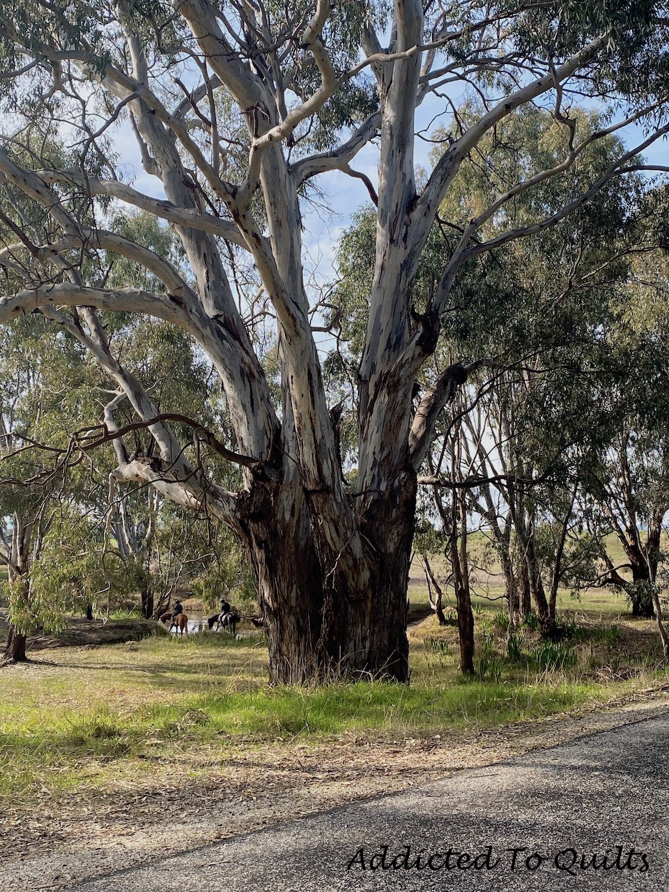
This magnificent tree was near a creek and you can see in the background a couple of horseback riders also out on the trail.

This was where we stopped for lunch.  

And this was the view of the creek from the bridge next to where we stopped for lunch.

The map of the trail - the red is the part of the trail we walked.

The second walk was further along on the Rail Trail starting just before where the former station of Bowman was located to where the former station of Gapsted was located.  This was 16kms return.

Unfortunately the weather was a bit wet, but we didn't let us stop us.  This hike was largely through farmland.  

But it also had some interesting sights, like a car graveyard.

Some old car bodies dumped in a ravine.

And some interesting bike art which was in the middle of nowhere.  

This is the map showing in red the part of the trail we walked.

Afterwards we stopped at a bakery on the way back to our accomodation and I had the second best bee-sting cake that I have ever had.


Saturday, 12 June 2021

Staying Local

There haven't been any hiking posts for a while as I haven't been hiking.  At the start of May I hurt my foot, so until recently I haven't even been walking which has been very frustrating.  I think it is finally on the mend, but I need to be careful I don't overdo it (easier said than done). 

Melbourne also went into a two week lockdown (that ended yesterday) due to a Covid outbreak.  We are still only allowed to travel within 25kms of our home under current restrictions so we can't go bush even if my foot was ok.

My husband took this photo of the Maribyrnong River a couple of days ago.  Look closely - after taking it he turned the photo upside down.  The reflection was nearly perfect.


This is a photo of Aberfeldie Park.  At the start of last year that dirt in the foreground was just a big pile of dirt.  But over the last year it has been carefully sculpted into bike ramps.  During lockdown last year groups of mostly I would guess nine to thirteen year old kids, mostly boys, but a few girls, would congregate here and slowly the mound of dirt was shaped.  Kids that I assume would normally be doing other activities on the weekend found an outlet here.  

If you look carefully you can see an old wheelbarrow and shovel that I have circled, and you can see the path their bikes take down the hill to the ramps.  I wonder if the council would have allowed this to happen in a normal year.... I think probably not.


Friday, 30 April 2021

Mount Buffalo National Park

Paul and I went away for four nights to regional Victoria, and enjoyed a couple of hikes.  Our favourite was the one we did at Mount Buffalo National Park.  This hike wasn't particularly hard compared to a lot of hikes we have done recently, and the trail was well marked.  However, it had a lot of bang for your buck when it came to spectacular views. 

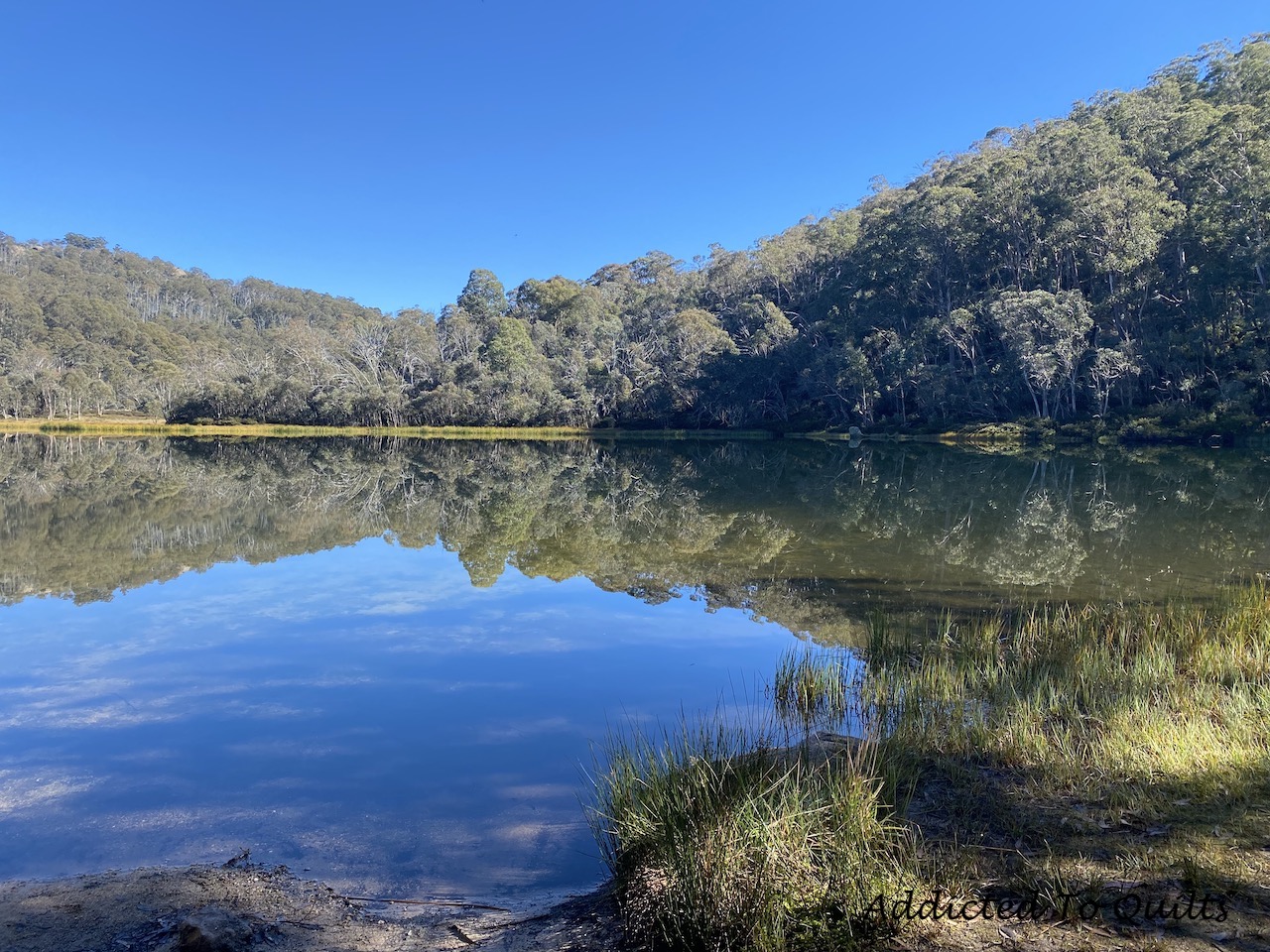
The hike started at Lake Catani which was gorgeous in the morning.  The water was so still there was a nearly perfect reflection.

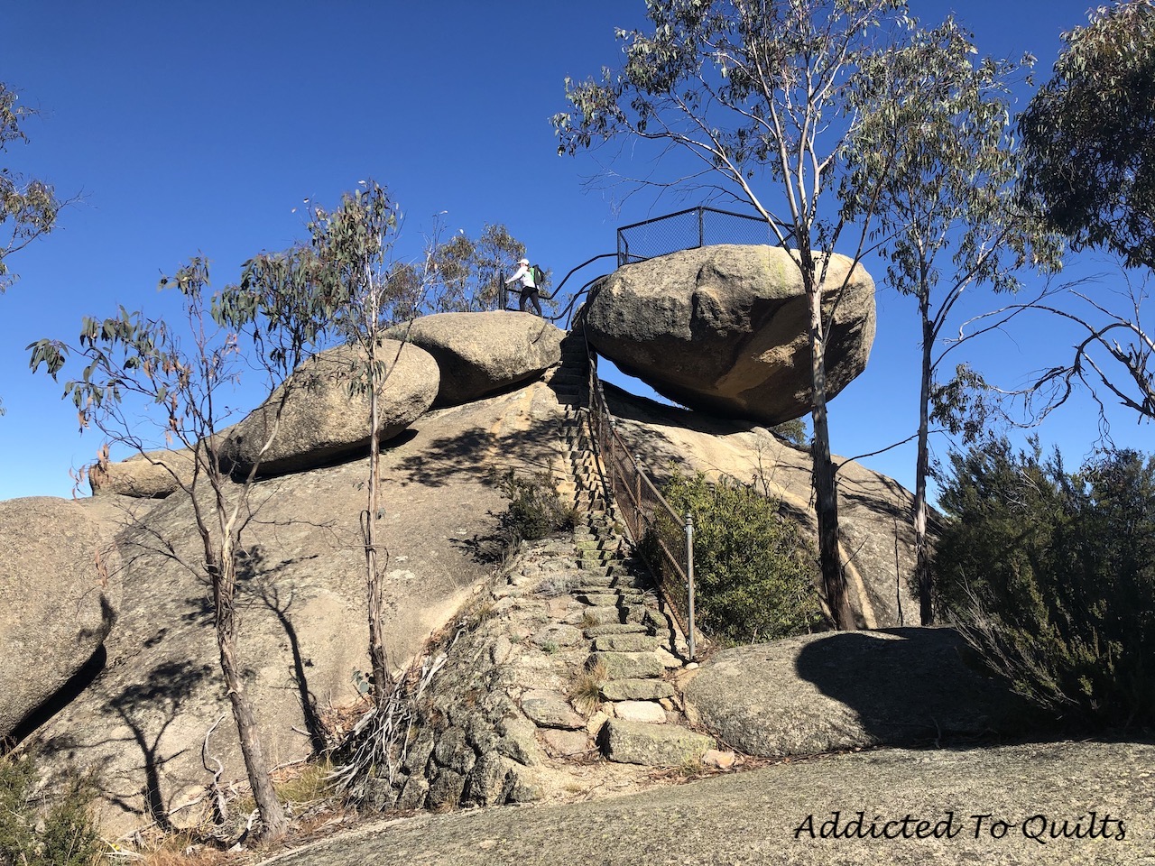
We then hiked to the first lookout over Buckland Valley.  These are the stairs to the lookout point.

This is the view from the lookout.  As you can see the weather is perfect.

We continued along the plateau where there were several more lookouts with stunning views. This bench seat was in a perfect isolated spot and we decided to have lunch here.

My favourite photo taken after lunch.  I had just taken some photos and was standing there soaking it all in.

An interesting tree growing between the rocks.

Paul often takes photos of me taking photos without me knowing.

The map - you can see the detours off to the lookout points.


Sunday, 4 April 2021

Old River Circuit - Lerderderg State Park

When planning for Easter we decided a hike sounded like a good idea and decided to go Good Friday.  Our sweet spot is grade three hikes between 15 to 20 kilometres.  But sometimes we like to challenge ourselves so we decided to do a grade four hike in Lerderderg State Park.  I chose the Old River Circuit as it sounded interesting and isolated as we wanted to really go bush.  

The hike was challenging, with very steep inclines into and out of the gorge, a lot of rock scrambling, and two river crossings. 

Also part of it was off trail which we had to navigate. But it was worth it as it was spectacularly beautiful. The weather, whilst a bit warmer than our ideal for a long hike, was not unpleasant as we were mostly shaded by the trees. 

Once in the gorge it was so peaceful.  The water levels were low and we were easily able to rock hop across the river even though we had brought water shoes so were prepared to get our feet wet.

We turned off from the main river up the old river bed which was mostly dry.


The climb out of the gorge was even steeper than coming in, and this is why the circuit is best done anti-clockwise.  At times you were almost crawling using your hands to help pull yourself up.  Obviously, no photos were taken during this part of the hike.  But I did take a photo of the marker before we started the last ascent - which reads that we have 3 kilometres with an estimated 2.5 hours to complete the hike.  It didn't take us quite that long, but this gives you an indication of how gruelling the hike was.

We were almost back at the car when we were rewarded with the sight of a Wallaby amongst the trees.


The map.  As you can see the first several kilometres were easy.  Then we crossed a ridge with some spectacular views before the first sharp descent into the gorge.  We then followed the old river bed before going off trail to climb out of the gorge and cross to another trail.  We descended back down again to cross the river to climb out one last time and back to the car.


Monday, 29 March 2021

Mount Macedon

Yesterday we did a loop hike at Mount Macedon which included a couple of detours to lookout points.  It is the best hike we have done so far this year with gorgeous views, some really magnificent trees, and variety of terrain along the trail.  To top it off the weather was perfect for hiking.

The trail notes recommend brining poles.  We hadn't used ours since we had moved, in March last year, but I located them and I am so glad we brought them as the ground was slippery and steep in places.

The hike was a lot more crowded than what we are used to in Australia where we can often not pass anyone for hours (or sometimes for the entire hike).  Many places along this hike are accessible by car and we walked through several picnic grounds.  Therefore it was more 'human' noisy than what we prefer with the sounds of voices and vehicles, and less of birds, but we did hear kookaburras several times, which always brings joy to my soul.  However the scenery far outweighed these distractions, and when we do this hike again we will try to come on a weekday so it will be less busy. 

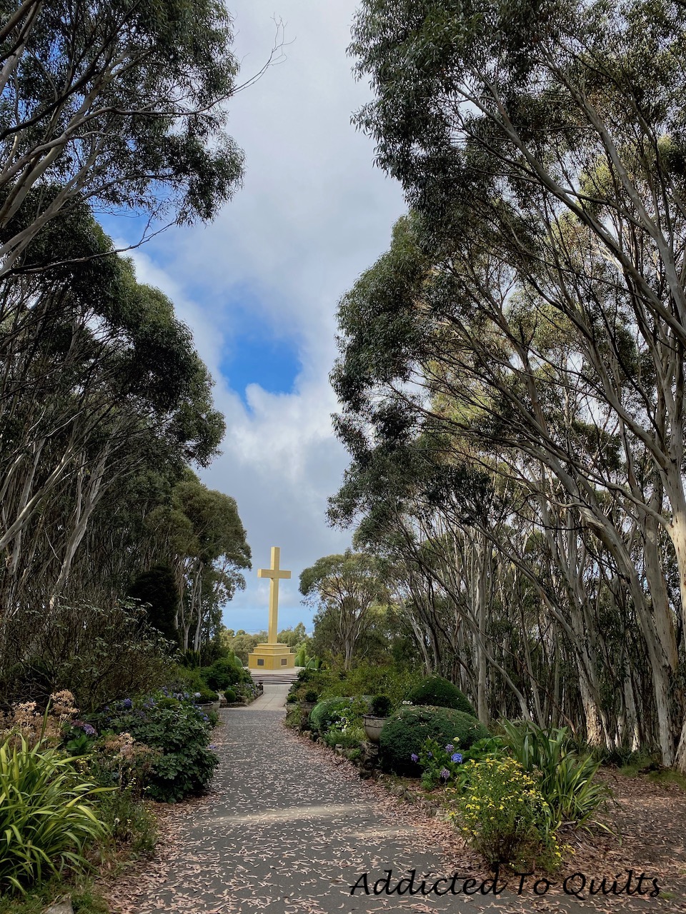
The hike started with an ascent to the top of Mount Macedon to see the Memorial Cross.


This is the view from the lookout at the top of Mount Macedon.

Trees covered in red moss.

Paul admiring the trees.

Me hiking through the trees.

View from Camel's Hump.

This amazing tree was next to the viewing platform and I had to get a closer look.

Paul took this of me trying to get that perfect photo.  I like that he has the compass in the foreground.  It must be pretty old as the distances are still in Imperial.


The hike continued through moss covered trees.


Sanatorium Lake where the reflections were gorgeous.


An interesting tree by the lake.


The hike back down was steep and we felt like we needed to be mountain goats to navigate it.  Once again, glad to have poles.

The map.